A look to the weekend
A potent cold front and upper level jet stream will combine to produce a wild weekend of weather. Rain will come in late Friday night...and increase in intensity on Saturday. Expect Rainfall amounts of 1 to 2 inches with southern Kentucky possibly getting up to 3 inches. This will cause streams and creeks to rise along
with rivers, especially the Green River and Rough Rivers.
On Saturday evening....temperatures will plummet some 20 to 30 degrees as an arctic cold front plows through. There will be a brief period of a wintry mix of sleet...freezing rain and snow. Next comes a period of snow and very strong northwesterly winds for the overnight hours.
There is uncertainty on the exact track of the surface low, thus the exact snow amounts are unclear. Data suggests a 1 to 2 inch snowfall across the northern half of the area Saturday night into early Sunday morning.
Temperatures and especially wind chills will plummet with winds of 20 to 30 mph Saturday night into Sunday morning. Wind Chills will be single digits Sunday morning and near 0 Monday morning.
Try to avoid going outdoors overnight Saturday through early Sunday morning due to bitterly cold temperatures. There is a good chance of a flash freeze Saturday night.
Stay up to date of the latest forecasts as details are likely to change leading up to the event.
 Historic Madison, Inc. Announces Retirement of Longtime Executive Director John Staicer
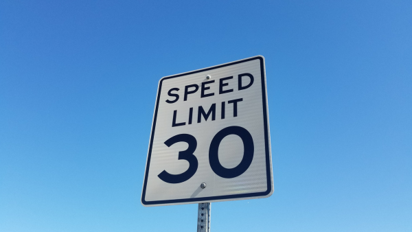 Speed Limit to be Reduced on U.S. 50 in Versailles
 Norton Children’s to host listening session in Madison to shape new pediatric care campus