National Weather Service Issues Hazardous Weather Statement
**areas in our listening area are highlighted in RED
Hazardous Weather Outlook
Hazardous Weather Outlook
National Weather Service Louisville KY
428 AM EDT Thu May 5 2022

INZ076>079-083-084-089>092-KYZ023>043-045>049-053>057-061>067-
070>078-081-082-060830-
Orange-Washington-Scott-Jefferson-Dubois-Crawford-Perry-Harrison-
Floyd-Clark-Hancock-Breckinridge-Meade-Ohio-Grayson-Hardin-Bullitt-
Oldham-Trimble-Henry-Shelby-Franklin-Spencer-Anderson-Woodford-
Fayette-Bourbon-Nicholas-Nelson-Mercer-Jessamine-Larue-Marion-Boyle-
Garrard-Madison-Butler-Edmonson-Hart-Green-Taylor-Casey-Lincoln-
Logan-Warren-Simpson-Allen-Barren-Monroe-Metcalfe-Adair-Russell-
Cumberland-Clinton-
Including the cities of Paoli, Salem, Scottsburg, Madison, Jasper,
English, Tell City, Corydon, New Albany, Jeffersonville, Lewisport,
Hawesville, Hardinsburg, Brandenburg, Hartford, Leitchfield,
Elizabethtown, Shepherdsville, Louisville, La Grange, Bedford,
Milton, New Castle, Shelbyville, Frankfort, Georgetown, Cynthiana,
Taylorsville, Lawrenceburg, Versailles, Lexington, Paris, Carlisle,
Bardstown, Springfield, Harrodsburg, Nicholasville, Winchester,
Hodgenville, Lebanon, Danville, Lancaster, Richmond, Morgantown,
Brownsville, Horse Cave, Greensburg, Campbellsville, Liberty,
Stanford, Russellville, Bowling Green, Franklin, Providence,
Scottsville, Glasgow, Tompkinsville, Edmonton, Columbia, Jamestown,
Burkesville, and Albany
428 AM EDT Thu May 5 2022 /328 AM CDT Thu May 5 2022/

This hazardous weather outlook is for portions of south central
Indiana and Central Kentucky.

DAY ONE...Today and Tonight.
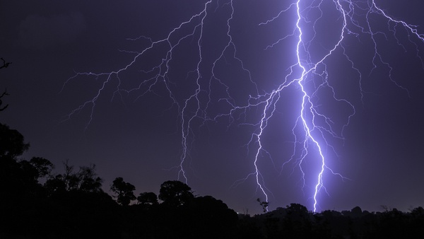
Another round of showers and thunderstorms are expected from
Thursday afternoon through Friday evening. Some storms could be
strong to severe with damaging winds being the main threat.

.DAYS TWO THROUGH SEVEN...Friday through Wednesday.

No hazardous weather is expected at this time.

.SPOTTER INFORMATION STATEMENT...

Spotter activation may be required Thursday afternoon through Friday
evening.

GENERAL STORM MOTION OF THE DAY:
Storms will move to the east-northeast between 25-30 mph.

Any users of this storm motion must be aware that thunderstorm activity
can be erratic and constantly evolving.  Please use this with caution
and be prepared for changing conditions.

&&
More information, along with other weather, hydrological and
climate information can be found, at weather.gov/louisville.
 Kentucky's Governor Seeks Additional Federal Support for Counties Affected by June 2026 Storms
 Medical Cannabis Now Available Across All Kentucky Licensing Regions
 Low-Interest Loans Available for Businesses, Residents Impacted by June 2026 Severe Weather