The coldest temperature so far has been located over eastern Kentucky, with a strong cold front moving through the region on Friday which will bring cold temperatures Saturday morning.

File Photo
(Jefferson County, Ind.) – As we are heading into the week it might be a good idea to cover your plants as we are placed under a freeze warning until 10:00 a.m. Saturday, May 9.
The coldest temperature so far has been located over eastern Kentucky, with a strong cold front moving through the region on Friday which will bring cold temperatures Saturday morning.
Due to these cold temperatures, the National Weather Service in Louisville has issued a Freeze Warning, which will be in effect from midnight Friday, May 8 until 10:00 a.m. Saturday, May 9.
The lows are expected to be in the mid-20s, and these temperatures could have a significant impact on agricultural interests.
Affected areas are Boyle, Henry, Adair, Nelson, Shelby. Franklin, Washington, Woodford, Scott, Jefferson, Mercer, Oldham, Green, Laure, Spencer, Trimble, Marion, Taylor, and Anderson.
 Englishton Park Summer Camp Receives $130,600 to Sustain Youth Programs and Build Organizational Capacity
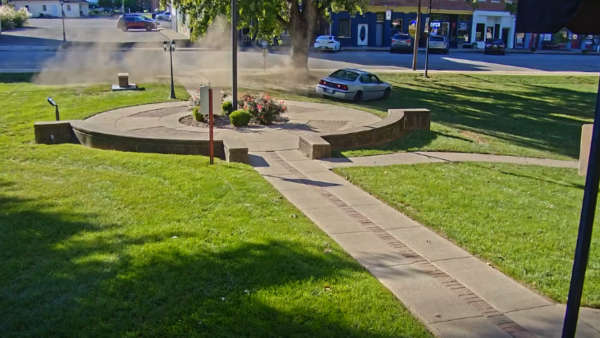 VIDEO: Intoxicated Driver Arrested After Doing Donuts on Courthouse Lawn
 All-way stop coming to U.S. 421 at 3rd Street in Downtown Madison